On February 23, 2021, a year before the full-scale Russian invasion of Ukraine, President Zelensky signed a law allowing for the demarcation of our state border.
During the demarcation process, topographic filming or aerial photography of the area is conducted, which is then used to create a large-scale topographic map of the border zone. Border markers (posts, barbed wire fences, etc.) are installed, and their topographic coordinates are determined. Protocols are prepared for all demarcation actions, describing the border line and the border markers (these protocols include diagrams and photographs of the markers). Border markers cannot be moved arbitrarily, and both parties are obliged to ensure their proper condition.
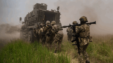
However, due to the full-scale Russian invasion, the demarcation was never completed. This means that the border markers could be moved not only into our territory but also towards Russian territory. Moreover, on January 22, 2024, Zelensky signed a decree concerning historically Ukrainian-inhabited territories in Russia.
The document mandates “to submit a plan of action for preserving the national identity of Ukrainians in the Russian Federation” including in historically inhabited lands (in Kuban, Starodubshchyna, Northern and Eastern Slobozhanshchyna within the modern Krasnodar Krai, Belgorod, Bryansk, Voronezh, Kursk, and Rostov regions of Russia).
So, assess the beauty of the game.
Tags: Russia russia ukraine war Ukraine